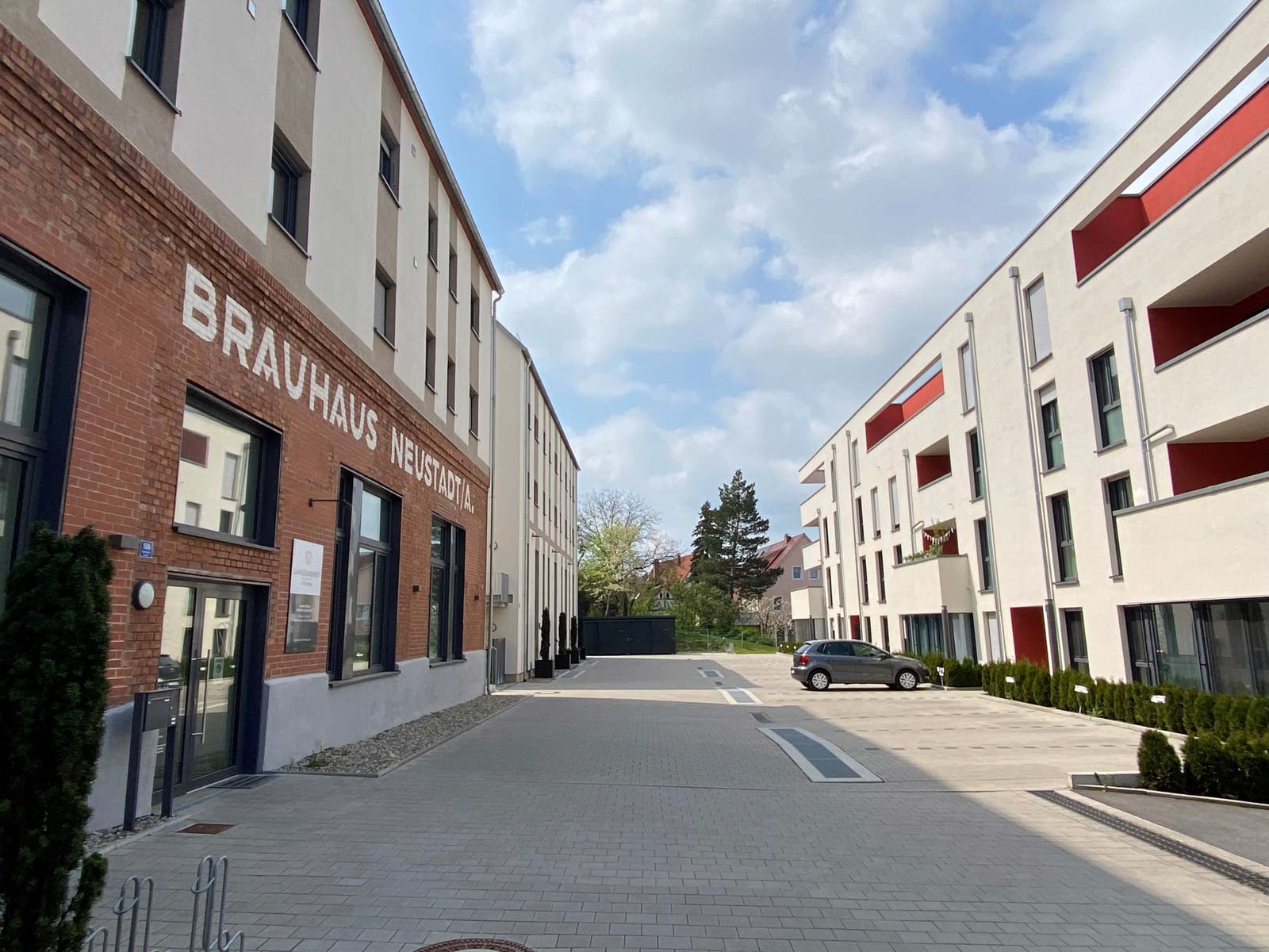
Als persönlich geführtes Unternehmen bauen wir für Sie schlüsselfertige ETW, Häuser und Gewerbeeinheiten in der Region Neustadt/Aisch und dem Nürnberger Land. Unser Ziel ist es Ihren Wohn- Bürotraum wahr werden zu lassen und entwickeln hierfür ständig neue und einzigartige Projekte.
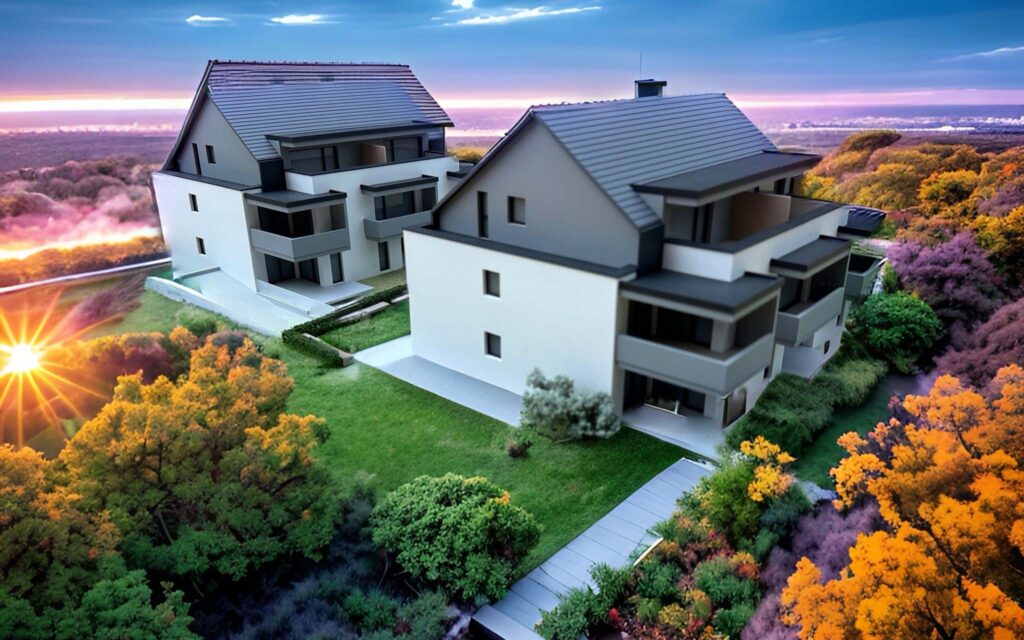
2 Mehrfamilienhäuser mit jeweils 7 Eigentumswohnungen inkl. Tiefgarage, Garten und Balkon mitten in Altenfurt.
Im Bau
Wir haben Ihr Interesse geweckt, dann treten Sie mit uns in Kontakt.
Vereinbaren Sie telefonisch (09161 /88 233-0) oder per Mail einen Termin mit uns. Gerne informieren und beraten wir Sie umfassend und suchen mit Ihnen die passende Immobilie für Sie aus unseren Angeboten heraus.
Cookies erleichtern die Bereitstellung unserer Dienste. Mit der Nutzung unserer Dienste erklären Sie sich damit einverstanden, dass Cookies eingesetzt werden.